


Setting out Site Engineering
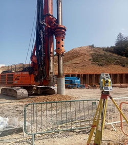
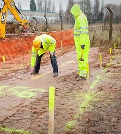
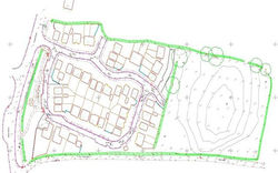
At 3D Engineering Surveys, our Setting Out & Site Engineering services accurately transfer design information from drawings to the site, ensuring structural elements such as gridlines, foundations, columns, and slabs are positioned correctly. Using advanced surveying tools including the Leica TS16, our experienced surveyors ensure every build follows its intended design.
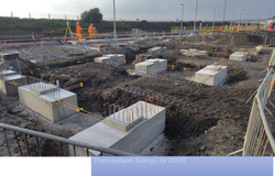
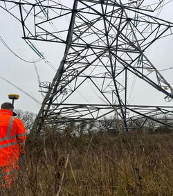
Our team has extensive experience across a wide range of sectors including power, transmission & distribution, piling, bridges, rail infrastructure, groundworks, drainage, utilities, residential developments, foundations, oil & gas, and substations. Our infrastructure setting out services cover drainage systems, utilities, roads, kerbs, and external works — ensuring all site features are correctly aligned and installed to specification, supporting smooth project progression.
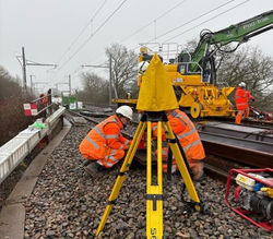
We have contributed to the maintenance and expansion of Network Rail lines, National Grid utilities, and National Highways, operating nationwide, day or night, to meet any project requirement.

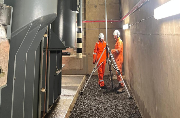
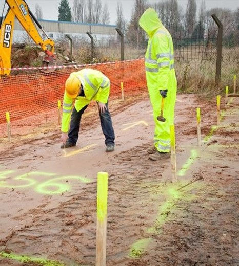
For full details of this service, please click the presentation button or click the download button to access the complete presentation.
Why is Accurate Setting Out Critical?
When it comes to construction, precision from the start is everything. A single error in setting out can lead to costly rework, project delays, and structural issues down the line. At 3D Engineering Surveys, our experienced team works across sectors including rail, power, utilities, and infrastructure — using advanced tools such as the Leica TS16 to ensure every structural element is positioned correctly the first time. Operating nationwide, day or night, we are committed to keeping your project on track, on time, and to specification.
Deliverables and Services
Why Choose 3D Engineering Surveys?
✅ Nationwide coverage — available day or night across all sectors
✅ Multi-sector expertise — rail, power, transmission & distribution, oil & gas, utilities, highways and more.
✅ Advanced equipment — including the Leica TS16 for precision setting out
✅ Proven track record — contributing to Network Rail, National Grid, and National Highways projects
✅ Full construction lifecycle support — from initial setting out through to as-built verification and QA/QC
✅ Comprehensive documentation — site records, redline drawings and reports delivered as required